
How a Licensed Land Surveyor Helps Resolve Conflicting Drainage Easements
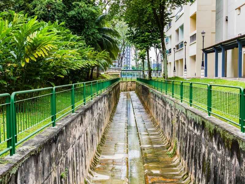
You pull the records on your property and find two drainage easements that do not agree. One plat puts the easement in one spot. A deed seems to put it somewhere else. Now you are stuck, because you cannot build with confidence until you know which is right. This happens more than people expect on older or often-divided land. A licensed land surveyor is the person who maps the evidence and helps sort it out.
When Two Easement Descriptions Point to Different Places
A drainage easement is a recorded right that lets water flow across part of a property. It sets aside a strip of land for stormwater. The problem starts when two documents describe that strip differently.
You might have a plat, a deed, and a separate recorded agreement. Each one can describe the easement in its own words. Over time, those words may stop matching up on the ground. One document says the easement runs along the east line. Another places it ten feet over. Both cannot be right.
These conflicts show up for real reasons. Land near Daphne and Mobile Bay has been surveyed and re-divided many times. Older drainage rights were written with the tools of their day. When a newer document is added, it can clash with the old one.
A licensed land surveyor starts by gathering every relevant record. Only after seeing all of them can the true picture form. Guessing which document wins is a mistake. The evidence has to be mapped first.
Which Easement Came First Can Change the Investigation
Order matters with easements. The date a document was recorded can affect how the conflict is read. A surveyor pays close attention to recording history for this reason.
Recording is the act of filing a document in the public record. The recording date sets a kind of timeline. An older, senior easement often carries more weight than a newer one. But that is not the end of the story.
Several things can change the picture:
- Amendments that update an original easement
- Dedications that grant rights to a public body
- Replacement documents that cancel and redraw an easement
- Later plats that revise earlier boundary lines
Each of these can shift which description controls. A replacement document may erase the conflict entirely. An amendment may explain a change that looks like an error at first. The surveyor traces this history to understand what actually applies today.
This research is detailed work. It means reading each document in order and noting how they connect. A licensed land surveyor knows how to follow that chain. The goal is to see how the easements evolved, not just what the newest paper says.
A Licensed Land Surveyor Reconstructs the Easements on the Property
Words on a page have to become lines on the ground. That translation is the heart of the surveyor’s work. A licensed land surveyor takes the written dimensions and reconstructs each easement in its real location.
Every easement description contains calls. A call is a written instruction that gives a direction and a distance, like a bearing and a length. The surveyor follows these calls from a known starting point. Step by step, the described strip takes shape on a map.
Then comes the comparison. The surveyor plots both conflicting easements against the actual parcel. This shows where they overlap, where they diverge, and by how much. A conflict that sounded vague on paper becomes a clear picture you can see.
This mapping often explains the conflict. Two descriptions may point to the same strip after all, once the math is done. Or the gap between them may be real and measurable. Either way, you gain facts instead of guesses. That is what lets you plan your next move.
The reconstruction also ties the easements to physical evidence. The surveyor checks for pins, monuments, and existing drainage features. If a ditch or pipe already runs across the land, its location matters. Real conditions help confirm which description fits the ground.
The Conflict May Affect More Than the Drainage Area
An easement conflict rarely stays in its own corner. Uncertainty about where a drainage easement sits can ripple across your whole site plan. That is why sorting it out early protects your project.
You usually cannot build over a drainage easement. So its location shapes where everything else can go. If the easement’s position is unclear, several plans hang in limbo.
The conflict can touch many parts of a project:
- Building footprints placed near the easement
- Parking layout and drive lanes
- Grading and how water is directed
- Access points and driveways
- Landscaping, fences, and other improvements
Picture a new building set close to the disputed strip. If the easement turns out to sit ten feet closer than you thought, your foundation may not fit. Moving it late in the process costs real money. A clear survey up front avoids that surprise.
Grading is a special concern in a wet, low area like Baldwin County. Drainage easements exist to move water safely. If you grade based on the wrong easement line, you can send water the wrong way. That can flood your own site or a neighbor’s. Confirming the easement first keeps your drainage plan sound.
Some Easement Questions Require More Than Surveying
A licensed land surveyor maps evidence, but not every easement question is a survey question. Knowing the limits of the role helps you get the right help at the right time. The surveyor’s job is to locate and reconstruct the easements, then report what the evidence shows.
Some issues go beyond boundary and location work. Deciding which easement is legally valid can be a legal matter. That may call for other professionals working alongside your surveyor.
You may need to bring in:
- A title professional to research recorded rights and gaps
- An attorney to interpret which document controls
- An engineer to design drainage within the confirmed easement
- The municipality if the easement was dedicated to the public
- The easement holder if their rights are affected
The surveyor’s map often becomes the shared reference for all of them. Everyone works from the same clear picture of the land. That coordination is where conflicts finally get resolved. Requirements can vary by property type, county, and project scope, so confirm what your situation needs early. If your closing, permit, or construction depends on the answer, start the survey work well ahead of your deadline.
Frequently Asked Questions
Can a licensed land surveyor tell me which easement is legally correct?
A surveyor can map both easements and show exactly how they compare on the ground. That evidence is often what settles the question. But deciding which document legally controls can be a matter for an attorney or title professional. The surveyor gives everyone the accurate locations to work from. That map is usually the starting point for a fair resolution.
How long does it take to resolve a conflicting drainage easement?
It depends on how many documents exist and how tangled the history is. Simple conflicts may clear up quickly once the easements are mapped. Older parcels with many amendments can take longer to research. A surveyor can give you a timeline after reviewing your records. Start early if a permit or closing depends on the answer.
What should I do before building near a drainage easement?
Confirm the easement’s true location with a survey before you finalize plans. Do not rely on a single plat or an old assumption. A licensed land surveyor can reconstruct the easement and flag any conflict. That lets you place buildings, parking, and grading with confidence. It is far cheaper than moving work later.